GIS and Public Health Mapping
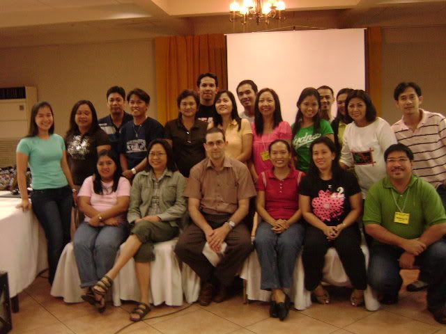
Island Cove, Cavite -- The Department of Health - Information Management Services conducted a two-day workshop and training session on Geographic Information System using the WHO AccessMod. Dr. Steeve Ebener of Information, Evidence and Research (IER) of WHO facilitates the activity. For GIS newbie like yours truly (although my undergrad thesis is a GIS), the workshop managed to illustrate the vast and realistic application of GIS. Being a natural curious individual, I am the first one who threw Steeve a question: "Would you consider GoogleEarth as real GIS?"
Steeve: "Yeah, only that GoogleEarth provides information thru visual overlaying and not thru spatial modelling and analysis".
Alison: "Cool!
The course of workshop starts with the definition of GIS, then it's application to public health. Three major domains have been identified where GIS specifically AccessMod will be very useful.
1. Availability (placing of appropriate resources within a location)
2. Accessibility (mapping of thematic images such as road, mountains, rivers and provides info how accessible are the health facilities to the target population)
3. Spatial Analysis (assesment of the location of health facilities and evaluation of its utilization status (underuser or overused)
Two critical components that are often taken for granted when GIS is being talked about: TIME and SPACE. According to Steeve, a map is just a snapshot of a certain period. What was Novaliches 50 years ago might not be the same Novaliches presently. Failure to recognize the importance of time and space will yield to inaccuracies in placing correct health facilities (i.e. a health center at the middle of a river).
In line with the course / workshop being develop by the National Telehealth Center (courtesy of Max ), we were able to share experience and gather relevant information to supplement the material. I am more than excited to have my first full blown GIS be published in a world reknowned GIS journal. Now, back to map plotting and Arc View hacking...
Labels: AccessMod, DOH, geography, GIS, HealthMapper, Island Cove, WHO
posted by Alison Perez @ 10:02 PM
![]()


<< Home