GIS and Public Health Mapping
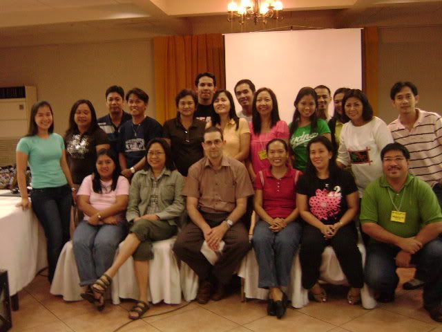
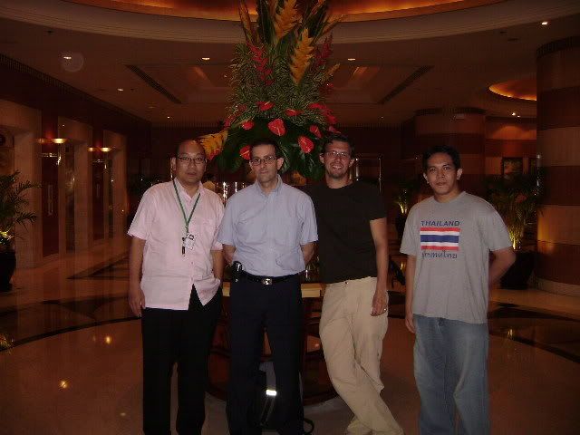
Island Cove, Cavite -- The Department of Health - Information Management Services conducted a two-day workshop and training session on Geographic Information System using the WHO AccessMod. Dr. Steeve Ebener of Information, Evidence and Research (IER) of WHO facilitates the activity. For GIS newbie like yours truly (although my undergrad thesis is a GIS), the workshop managed to illustrate the vast and realistic application of GIS. Being a natural curious individual, I am the first one who threw Steeve a question: "Would you consider GoogleEarth as real GIS?"
Steeve: "Yeah, only that GoogleEarth provides information thru visual overlaying and not thru spatial modelling and analysis".
Alison: "Cool!
The course of workshop starts with the definition of GIS, then it's application to public health. Three major domains have been identified where GIS specifically AccessMod will be very useful.
1. Availability (placing of appropriate resources within a location)
2. Accessibility (mapping of thematic images such as road, mountains, rivers and provides info how accessible are the health facilities to the target population)


Labels: AccessMod, DOH, geography, GIS, HealthMapper, Island Cove, WHO


